Contact Us
+66 96-551 9996
Chiang Mai Land Due Diligence: What Online Maps Cannot Confirm
22 August 2026Chiang Mai Land Due Diligence: What Online Maps Cannot Confirm
A plot can look ideal on a satellite image while the physical access is narrower than expected, storm water crosses the site, or the occupied fence does not match the owner’s assumption. Land due diligence in Chiang Mai therefore involves more than dropping a house footprint onto an online parcel. Digital tools are useful for screening; title, boundary, planning and site facts still require formal and physical verification.
Use digital tools to make better questions
Thailand’s Department of Lands provides LandsMaps for parcel-location searches, together with valuation search, survey appointments and other services. These tools can help identify an approximate location, surrounding roads and the document numbers to prepare before contacting the responsible Chiang Mai or Lamphun land office.
The Department’s own risk documentation also notes that parcel-map data can contain discrepancies in count, size, shape or location. An online outline should therefore not replace the title document or a survey where a high-value decision depends on the boundary.
Five checks before paying for full design
Title and registered rights
Verify the document type, parcel references, area, registrations, encumbrances and rights holder through the relevant documents and land office. A photo of a title shared in a chat is not the final check.
Boundary and occupation
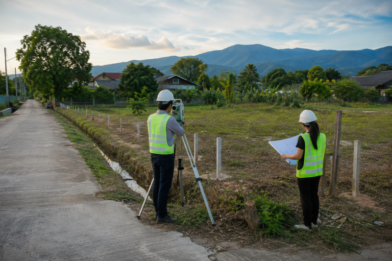
Compare monuments, fences, drains, trees and buildings with the documentation. When facts do not align, ask the Department of Lands about the applicable survey process before positioning a house, pool or wall.
Access and utilities
Establish whether the apparent route is public, subject to a registered servitude or only used informally. Check construction-vehicle access, turning, power, water and drainage.
Planning and local requirements
An online planning colour is a screening signal, not a building permit. Confirm land use, setbacks, road and waterway conditions, building-control status and local requirements with the authorities responsible for the actual plot.
Ground, water and neighbours
Review levels relative to the road, drainage paths, utilities, mature trees, nearby buildings and noise. Foundation and drainage decisions require appropriate survey information and qualified professionals.
A hypothetical Hang Dong plot
A family sees a rectangular parcel online and plans a pool villa across most of it. A site visit reveals limited construction access and land below road level. The sensible sequence is to verify boundary and access, survey levels, check local controls, and only then position the building, pool and drainage. Due diligence is design information, not end-stage paperwork.
Frequently asked questions
Can LandsMaps confirm the legal boundary?
Use it for search and screening, not as a substitute for title documents or an appropriate survey.
Is appraised value the market price or construction cost?
No. These figures serve different purposes and do not show site-preparation or home-building cost.
Does this article advise a foreign buyer on land ownership?
No. Ownership questions require appropriately qualified Thai legal advice based on the actual parties and transaction.
When should an architect visit?
Before layout and floor area are fixed, so access, sun, wind, levels and controls inform the brief.
Turn a location pin into a buildable brief
Explore our custom-home service, review projects, or book a free initial architect consultation to organise plot information. It excludes free drawings or house design.
Sources
Department of Lands, public services and LandsMaps; Chiang Mai Provincial Land Office; Lamphun Provincial Land Office. Accessed 22 August 2026.